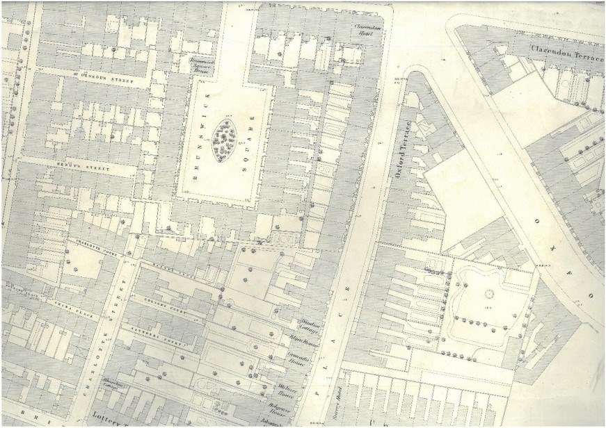
Maps are a good place to start researching your house, as they can give you an idea of when your house was first built, as well as show what occupied the site before.
Our most extensive collection of maps is our Ordnance Survey maps. We hold copies of OS maps dating from 1846 to the 1970s, although the maps vary in scale and the areas they cover. The collection includes the 1845-46 Survey of the Borough of Southampton, which is detailed, at a scale of 60 inches to the mile, and in some cases shows street numbering. It also includes an 1870 map which can be used to trace houses in the central area of town and is the only map to name some of the courts and alleyways which ran through the old town, and copies of a 50” map published after the Second World War which is useful for tracing the course of post-war rebuilding and confirming house numbers.
Other maps in our reading room include 19th-century parish tithe maps for the parishes of North Stoneham, South Stoneham, Millbrook, Nursling, St Mary’s Extra, St Mary’s infra, and All Saints. Tithe maps include schedules listing owners and occupiers of properties, and descriptions of said properties. We also hold enclosure maps for Woolston and Bitterne dating from 1814, and Hill and Shirley dating from 1830, and parliamentary plans with accompanying local Acts of Parliament, which were obtained for major works including public buildings.


